
Airborne LiDAR and Aerial Photogrammetry: Advanced Mapping Solutions for Complex Sites
Airborne LiDAR and aerial photogrammetry are powerful technologies for capturing detailed spatial data across large areas, challenging terrain, and landscapes with dense vegetation.
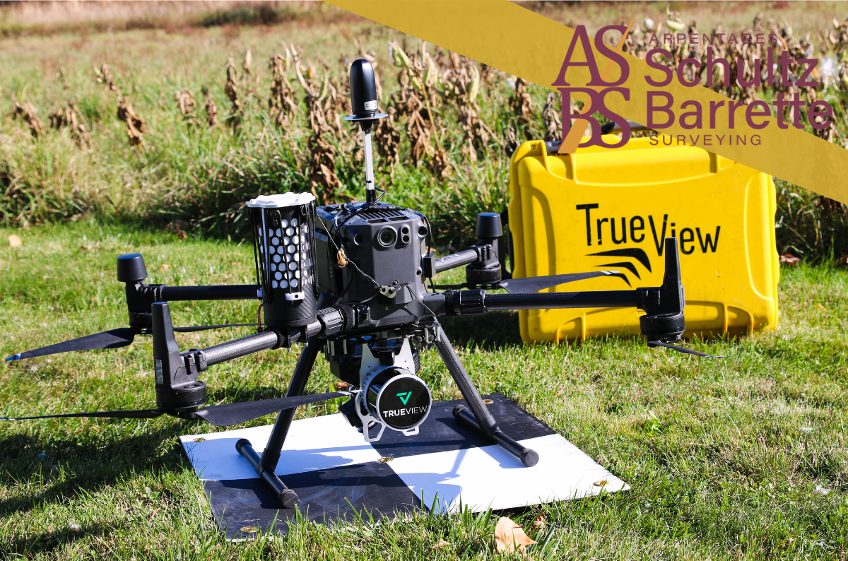
Using drone-based platforms, these technologies provide complementary data that can be used to generate detailed topographic maps, digital terrain models, surface models, and 3D representations of the landscape.
Typical applications include:
- Topographic and terrain mapping
- Land development and site planning
- Environmental monitoring and analysis
- Infrastructure planning and design
- Elevation modelling and surface analysis
By combining advanced remote sensing technologies with professional surveying expertise, project teams can gain valuable insights into site conditions, support informed decision-making, and improve project planning.
Contact us today to find out how we can support your next project: www.sbsurveying.ca
1 Main Street East,
Suite 510,
Hawkesbury, ON
K6A 1A1
(613) 632-7611
